The Route
90 miles of North Wales' most spectacular cycling terrain

Route Overview
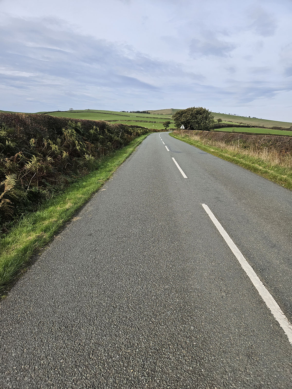
The route starts and finishes in Eirias Park, Colwyn Bay (postcode LL29 7SP). It is less than a mile from Junction 22 on the A55 and a 30 minute drive from Queensferry.
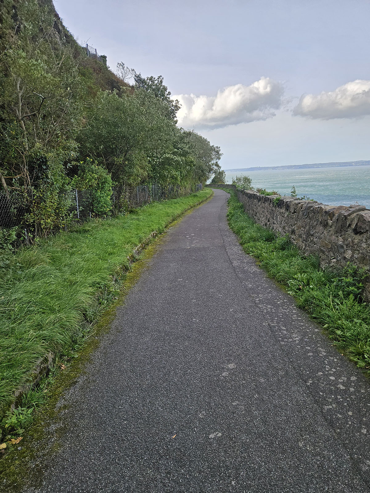
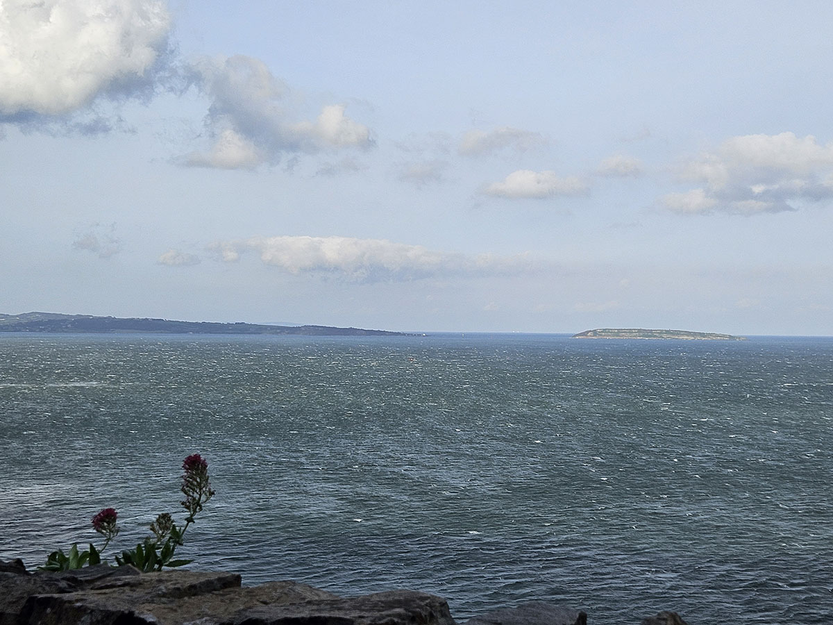
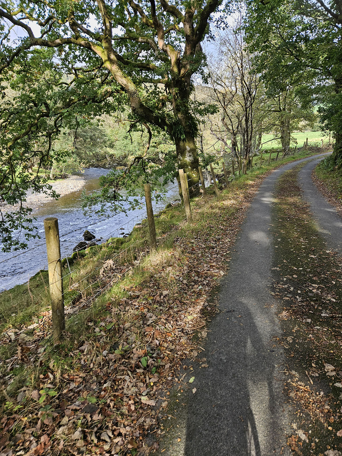
80% of the route is on quiet lanes and bike tracks, but 100% on a tarmac surface. From Eirias Park, the ride drops down to the promenade and follows the coast into Llandudno, where it encircles the Great Orme on what can only be described as a 'shelf' road. Here, there are the most incredible views towards Liverpool Bay, then around towards Puffin Island, the Menai Straits, and the Conwy Estuary.
Journey Through North Wales
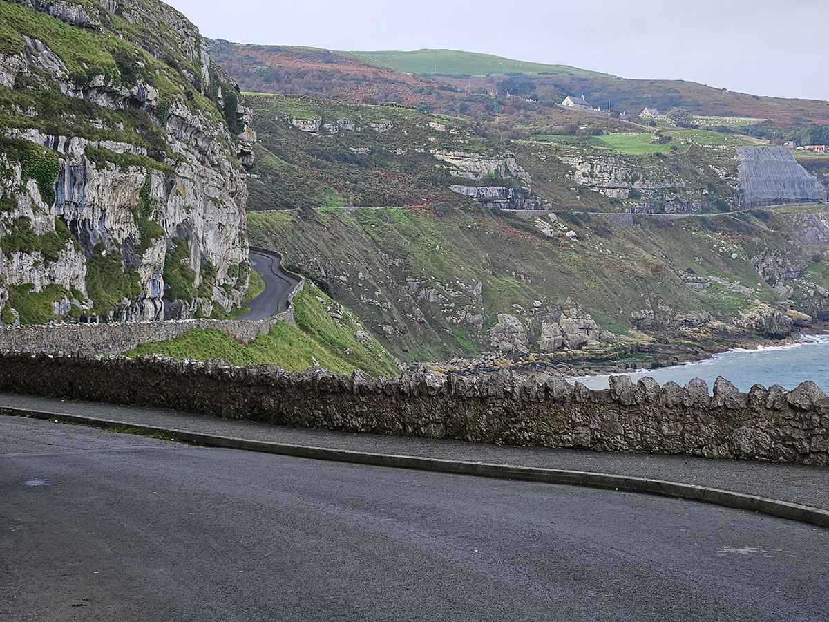
The Great Orme & Coastal Views
Experience breathtaking coastal scenery as you circle the Great Orme's dramatic cliff-top roads, with unparalleled views across Liverpool Bay and towards the Welsh mountains.
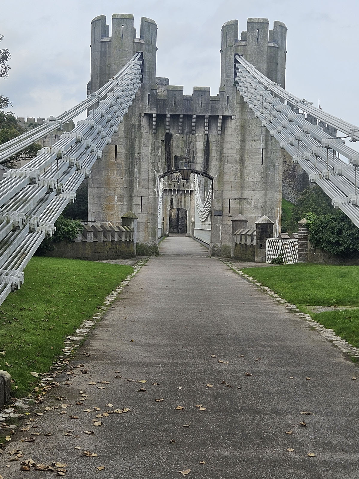
Historic Conwy & Sychnant Pass
From the Great Orme, the route passes through Deganwy, over the Estuary into the historical town of Conwy, passing the 700 year old castle. Then climb upwards to the Sychnant Pass, with unrivalled views down the North Wales coast as you crest the summit.
Thomas Telford's Historic Coast Road
The route drops into coastal Penmaenmawr, before picking up Sustrans Route 5. This takes you over the Pen-Y-Clip headland, following the 1826 original coast road, constructed by Thomas Telford.
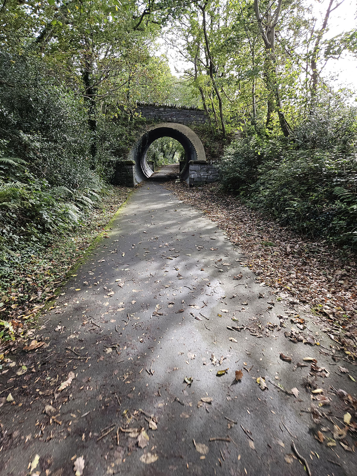
The Famous Lon Las Trail
From Penrhyn Castle near Bangor, head inland towards the Welsh mountains. Pick up Sustrans route 82, the famous Lon Las bike track, originally built between 1870-1879 to ferry slate from Penrhyn Quarry to the coast. This historic trail passes through several tunnels.
Llyn Ogwen Feed Station
Leave Route 82 at Bethesda and join the A5 to avoid gravel sections, rejoining the trail as it ascends to Llyn Ogwen. At 38 miles into the ride, you'll find our first feed station with public toilets and stunning mountain lake views.

Betws-Y-Coed Rest Stop
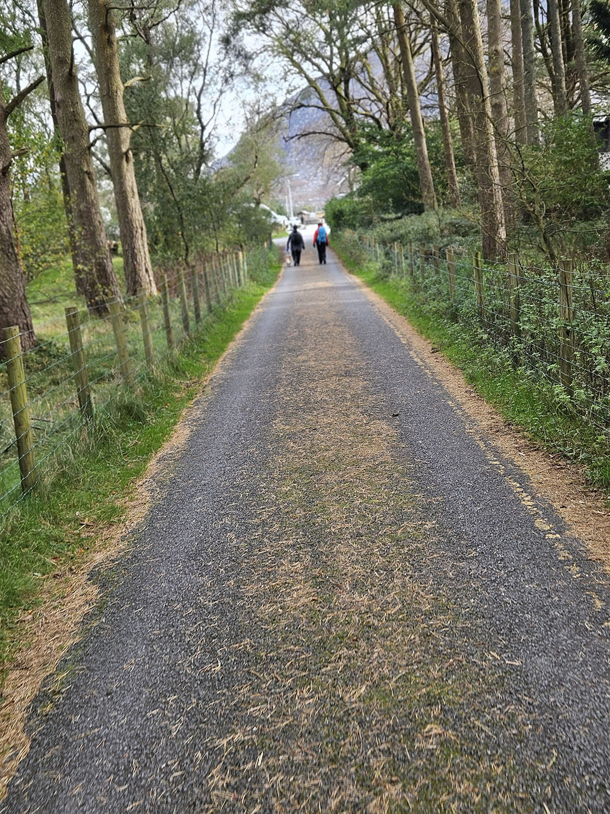
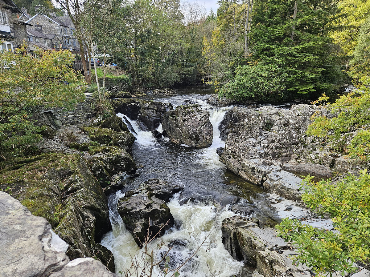
Drop down the A5 for 11 miles into the charming village of Betws-Y-Coed. Perfect opportunity for a sit-down meal - after leaving here, food options are limited until the finish (except for feed station 2, 20 miles later).
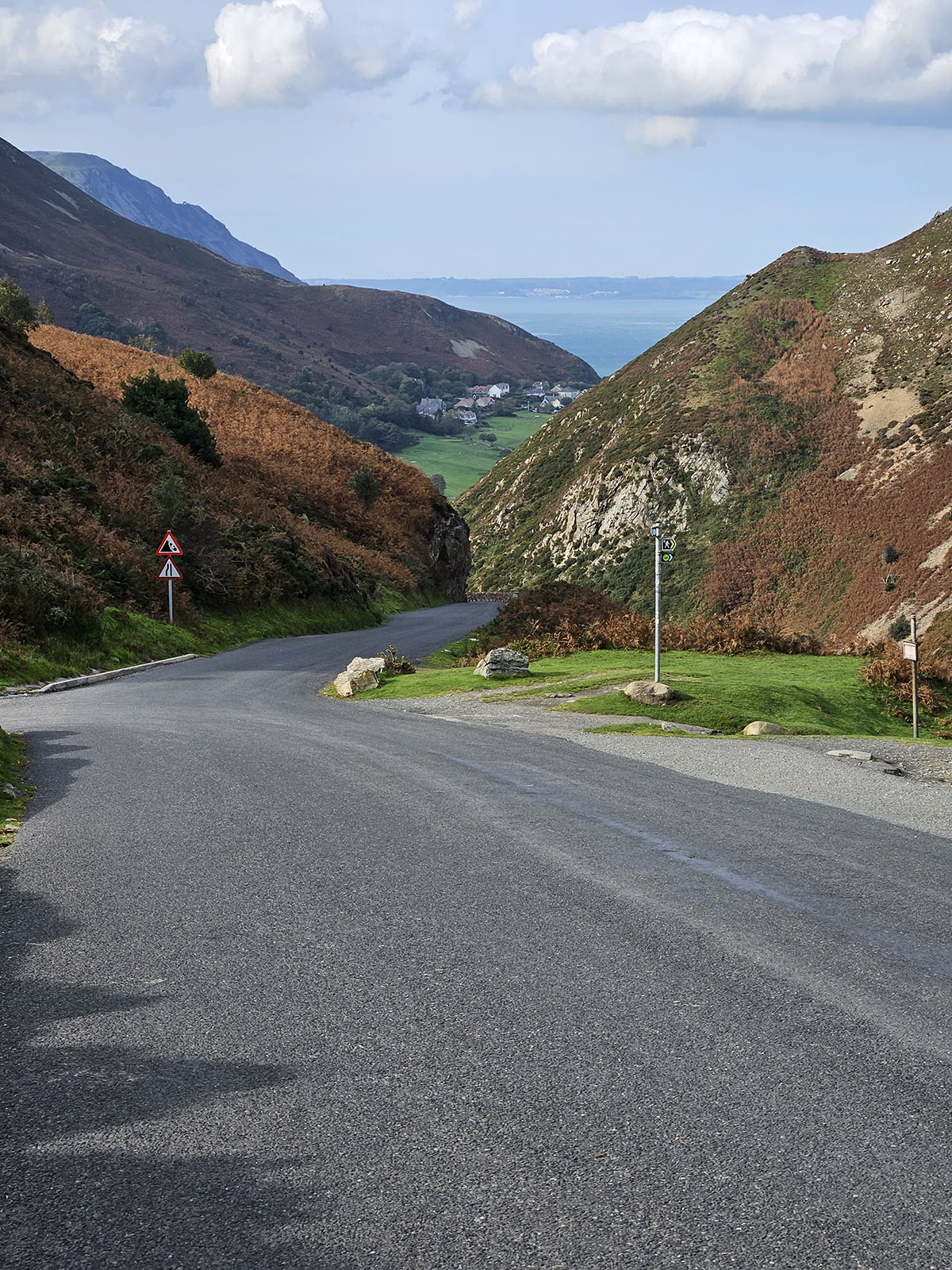
The Main Challenge: Cwm Penmachno
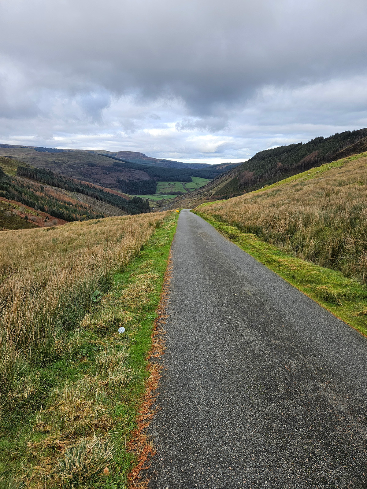
Turning right from Betws-Y-Coed, follow small back lanes to Penmachno village. Here begins the main climb of the day: Cwm Penmachno - 2.7 miles long, ascending just under 1,000 feet, averaging 6.7% incline. This brings you to the Mignient Moorland, the ride's high point at just under 1,600 feet.
The Home Stretch
From the moorland, turn left and drop into Ysbyty Ifan, then proceed to Pentrefoelas for feed station 2 at 68 miles (public toilets, and cafe). Cross the A5 and follow the quiet B5113 for 15 miles - enjoy some of the day's best mountain views. After Holland Arms, take the 3rd right through LLanelian village, back to Colwyn Bay and through Eirias Park gates, where hot tea/coffee and a commemorative slate coaster await!